- The National Geoportal centralizes 800+ geospatial data layers, improving policy coordination, accountability, and innovation.
- Accessible through two portals, it supports data-driven decision-making in key sectors.
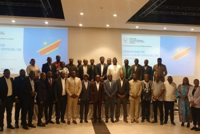
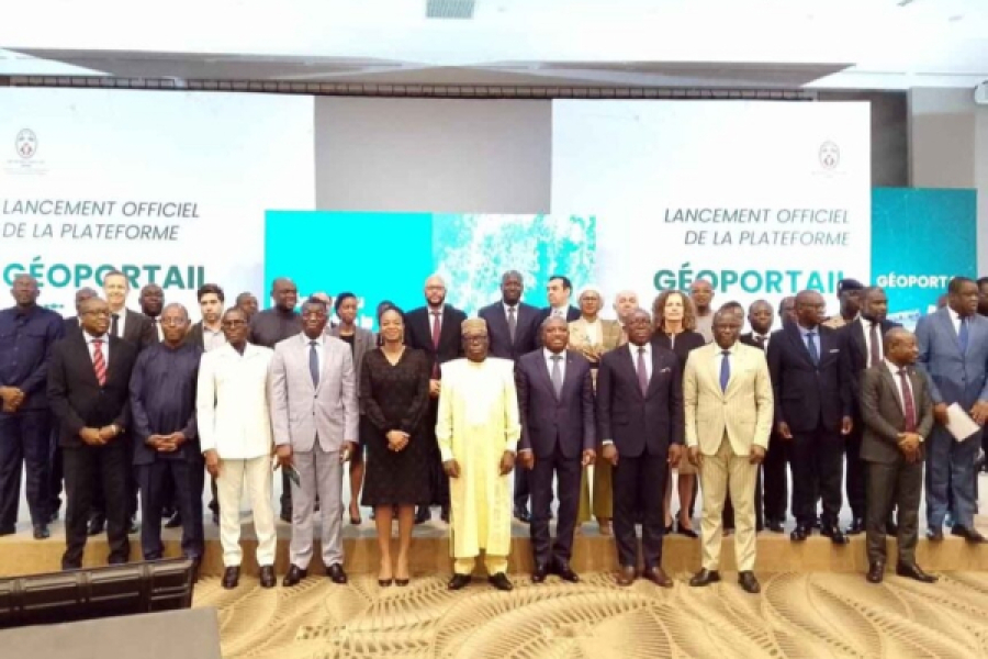
Togo has launched a National Geoportal, going beyond a simple map catalog to establish a foundation for data-driven governance. Unveiled on Tuesday, May 6, the digital platform centralizes over 800 layers of geospatial information, aiming to reshape how public actions are managed, governmental transparency is ensured, and citizen involvement is facilitated.
Spearheaded by the Ministry of Digital Economy and Digital Transformation, the platform is among the most comprehensive of its kind in West Africa. It is the result of collaboration across 23 ministries and 550 local communities, and it currently lists 1.2 million assets and more than 75,000 kilometers of mapped networks.
According to Cina Lawson, the Minister of Digital Economy and Digital Transformation, the platform offers three primary benefits: improved coordination of public policies, enhanced accountability through better information access, and the promotion of innovation by making data available to a wider audience.
The system is structured around two distinct portals: geoportail.gouv.tg for institutional users and geodata.gouv.tg for the general public. These interfaces allow for the examination of regional disparities, informing investment decisions, and fostering a management culture based on factual analysis. The data available covers key sectors including health, education, agriculture, and energy. This range of information is intended to provide a tool for decision-makers to target needs, mitigate risks, and allocate resources more effectively.
This new platform positions Togo as a regional frontrunner in open data initiatives and the modernization of its governance. Beyond administrative improvements, the initiative also seeks to bolster the country's appeal to technical and financial partners.
Senegal also launched its own national geoportal, GéoSénégal, in April as part of its National Geomatics Plan, indicating a growing trend in West Africa where advanced mapping is becoming central to public sector operations.
By Samira Njoya,
Editing by Sèna D. B. de Sodji